
The United States Geological Survey recorded a Magnitude 4.1 Earthquake at a depth of 12.4 km about 8 km south of the town of Mormanno in Calabria, southern Italy, at about 11.20 pm local time (9.20 pm GMT) on Wednesday 4 June 2014. There are no reports of any damage or casualties associated with this event, though it is likely to have been felt locally.

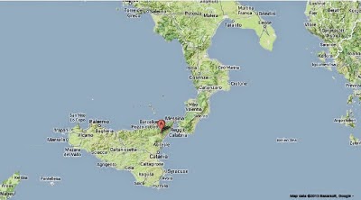
The approximate location of the 4 June 2014 Calabria Earthquake. Google Maps.
Italy is in an unusual tectonic setting, with the west of the country lying on the Eurasian Plate, but the east of the country lying on the Adriatic Plate, a microplate which broke away from North Africa some time in the past and which is now wedged into the southern margin of Europe, underlying eastern Italy, the Adriatic Sea and the west of the Balkan Peninsula. This, combined with the northward movement of the African Plate into Italy from the south, leads to uplift in the Apennine Mountains that run the length of the country, and makes Italy extremely prone to Earthquakes.

Outline map showing the approximate positions of the Eurasian (EU), Adriatic (AD) and African (AF) Plates. Di Bucci & Mazzuli (2003).
Historically Italy has suffered a number of devastating Earthquakes that lead to large numbers of casualties, though in recent decades the country has made serious attempts to prevent this, with better warning systems and tighter building regulations, though the large number of historic buildings in Italy, which cannot easily be replaced (and any attempt to do so would be unlikely to succeed due to their high cultural value), meaning that the country is unlikely to be completely risk free any time soon.
This has been complicated by an ongoing series of corruption scandals in the Italian construction industry, and, alarmingly, the decision by a court in October 2012 to gaol six leading Earth scientists for failure to predict a quake. It is unclear how this will affect Italy's future ability to deal with geohazards, as it is likely that scientists will refuse to participate in programs that might result in prosecutions.
See also...

Mount Etna, Europe's most active volcano, located on the east of the island of Sicily, underwent a series of large eruptions overnight on...

Mount Etna, a 3320 m active stratovolcano on eastern Sicily, erupted on Saturday 26 October 2013, producing an ash column which briefly closed airspace over the island and and throwing hot ash and...
The United States Geological Survey recorded a Magnitude 4.3 Earthquake at a depth of 10 km under eastern Sicily, slightly after...
Follow Sciency Thoughts on Facebook.