
The Zentralanstalt für Meteorologie und Geodynamik recorded a Magnitude 3.7 Earthquake at a depth of 7 km in the state of Tyrol in western Austria, about 8 km north of the state capitol, Innsbruck, slightly before 12.45 pm local time (slightly before 10.45 am GMT) on Friday 9 August 2013. There are no reports of any damage or injuries resulting from this event, but it was felt locally.
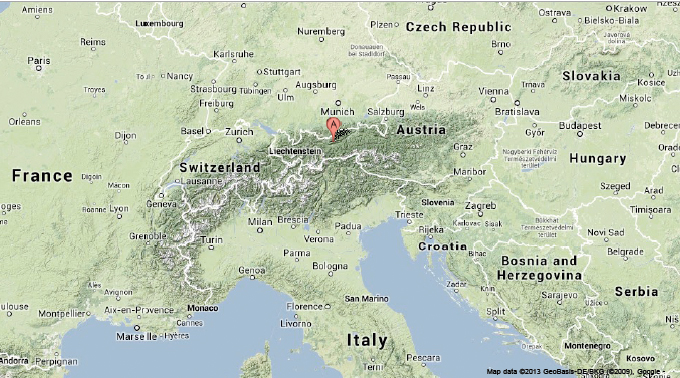
The approximate location of the 9 August 2013 Tyrol Earthquake. Google Maps.
The Tyrol is located in the Alps, which are not static structures, but are a growing range of mountains being forced upwards by the impact of Africa into Europe, which is forcing the Adriatic Plate, underlying western Italy and the eastern Balkan Peninsula, further into the Eurasian Plate, causing folding and uplift in the rocks of central Europe. This movement is not smooth and continuous, but bumpy and jerky, as the rocks stick to one another while pressure builds up, then release suddenly causing quakes.

Diagrammatic representation of the movement of the tectonic plates and major rock components beneath the Alps. University of Bern.
Witness accounts of Earthquakes can help geologists to understand these events, and the structures that cause them. If you felt this quake, or were in the area but did not (which is also useful information) then you can report it to the Zentralanstalt für Meteorologie und Geodynamik here (in German).
See also Magnitude 5.1 Earthquake in northwest Italy, Earthquake in the Auvergne Region, France, Earthquake on the Modena Plane, northern Italy, Southwest Poland hit by Earthquake and Zurich shaken by mild Earthquake.
Follow Sciency Thoughts on Facebook.