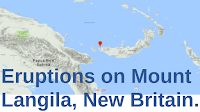
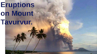
Authorities on the island of New Britain, Papua New Guinea, have begun evacuating people from settlements close to Mount Ulawun, a 2334 m high stratovolcano (cone-shaped volcano made up of layers of ash and lava) on the north coast of the island, following an eruption on Monday 20 November 2023. The eruption, which happened in the afternoon, produced an ash column 15 km high, causing flights from airports on the island to be cancelled. The volcano has continued to erupt since the initial event. Mount Uluwun is one of the most active volcanoes in Papua New Guinea, though most eruptions are much smaller than this week's events.

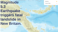
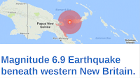
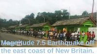
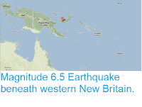
New Britain lies on the boundary between the South Bismarck and Solomon Sea tectonic plates. The Solomon Sea Plate is being subducted beneath the South Bismarck Plate, which causes friction as the plates rub together, occasionally leading to Earthquakes. As the Solomon Sea Plate sinks into the Earth it is melted by the heat of the planet's interior. Some of the melted material then rises through the overlying South Bismarck Plate, fuelling the volcanoes of New Britain.

See also...


Follow Sciency Thoughts on Facebook.
Follow Sciency Thoughts on Twitter.