
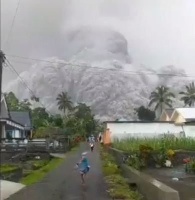
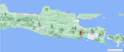
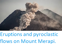
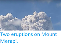
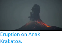
Authorities in East Java, Indonesia, have begun evacuating communities close to Mount Semeru, a stratovolcano (cone-shaped volcano made up of layers of ash and lava) close to the city of Lumajang which forms the highest point on the island, following a sudden eruption on Saturday 4 December 2021. The eruption produced an ash column that rose to about 15 000 m, leading to heavy ash-falls in several local communities. There are no reports of any casualties at this time, although a bridge connecting Lumajang to Malang has been either damaged or swept away, according to posts on social media. The Darwin Volcanic Ash Advisory Center has reported that the ash cloud appears to have become detached from the volcano, and is drifting to the southwest.
Mount Semeru forms part of the Tengger Volcanic Complex is a string of five overlapping stratovolcanoes (cone-shaped volcanoes) forming a single massif, extending northward from Semeru. The whole massif sits within a vast caldera (volcanic crater), left by the explosion of an ancient volcano about 150 000 years ago. The volcanoes are at the center of this caldera, surrounded by a vast sea of sand, the Tengger Sand Sea.
Follow Sciency Thoughts on Facebook.
Follow Sciency Thoughts on Twitter.